5 Notes On the Cohutta Wilderness

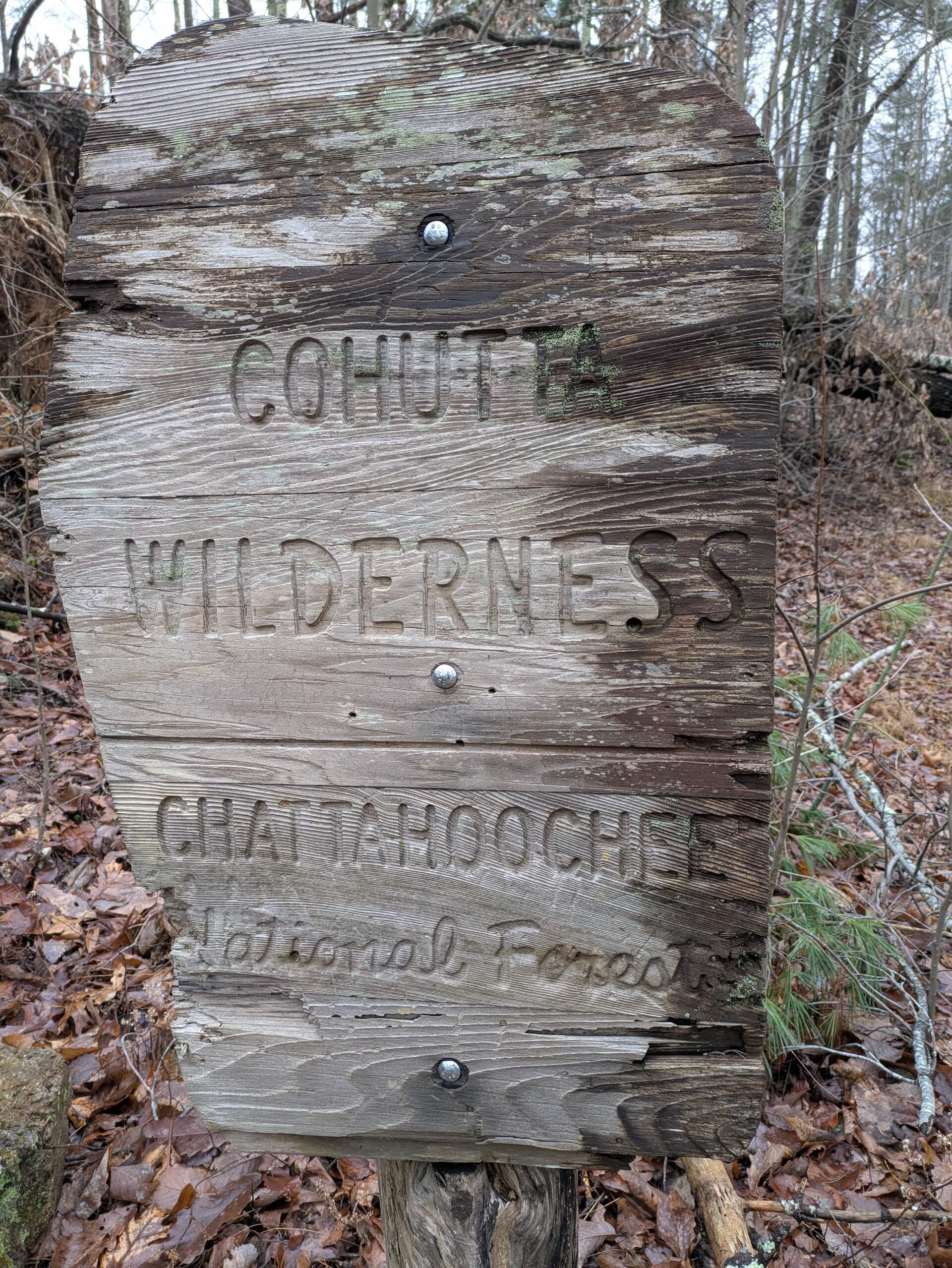
The Cohutta Wilderness is the largest designated Wilderness area east of the Mississippi river. It is only about a 2 1/2 hour drive from Atlanta, so I have been able to spend quite a bit of time there.
The Wilderness Is Huge
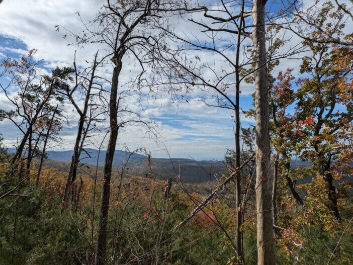
Aldo Leopold once said that Wilderness should be “big enough to absorb a two weeks’ pack trip”. The Cohutta + Big Frog Wilderness are maybe that big (100+ miles of trails). But in context – it is massive and an absolute gift from those who worked so hard to get Wilderness designation in place.
Between Atlanta, Charlotte, and Nashville – the Cohuttas sit in one of the fastest growing areas in America. Between the Cohuttas and Big Frog, you can truly get into some very remote areas that are very inaccessible to any road or human development.
The Cohuttas Are Different & Tougher Than Central North Georgia
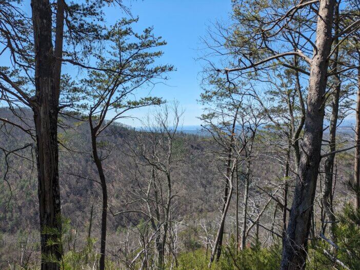
The Cohuttas are geographically part of North Georgia…but are geologically very different. The Cohuttas are full of sedimentary rock that fractures and was cut by steep rivers, versus granite and gneiss that round off – that you see in the Suches, Dahlonega, Clayton areas. Here’s how Claude describes the difference –
Different rock. The Cohutta sits on the Western Blue Ridge, underlain by the Ocoee Supergroup. These are late Precambrian sediments (sandstones, graywackes, siltstones, shales) that were dumped into a rift basin and later cooked into metasandstone, slate, and phyllite. Most of the rest of the Chattahoochee lies east of the Hayesville fault in the Eastern Blue Ridge, which is dominated by gneiss, schist, and granitic intrusions.
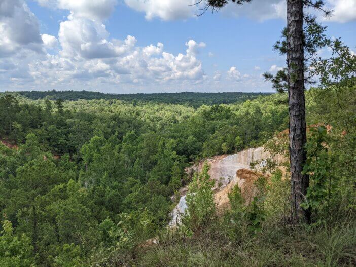
Why that makes it sharp instead of rolling. Granitic rocks weather by exfoliation and spheroidal rounding, which gives you domes, rounded boulders, and soft shoulders. The Ocoee rocks are layered and heavily jointed, so they break along bedding and fracture planes into slabs, ledges, and blocky angular chunks. The tilted beds of hard metasandstone also resist erosion unevenly, which produces the stair-stepped ledges and abrupt cuts you’re noticing.
Steep, deep drainages. The Jacks and Conasauga drain west toward the low Great Valley of Tennessee and northwest Georgia. That steep drop to a low base level lets the streams incise hard, carving tight V-shaped gorges with steep side slopes rather than broad hollows. The dark slate and phyllite also make the streambeds and outcrops darker than the pale, sandy granitic streams farther east.
The “older” feeling. The rocks aren’t dramatically older in absolute terms; much of the eastern Blue Ridge rock is of similar Neoproterozoic age. The sense of age comes from a few other things. The dark, lichen-covered, angular outcrops look weathered and primeval. The area has had no roads or development since it became wilderness in 1975, and together with Big Frog Wilderness across the Tennessee line it forms one of the larger roadless blocks in the Southeast. And after heavy logging in the early 1900s, the forest has had about a century to recover with deep shade and dense rhododendron in the gorges. It’s the quietest, least-touched corner of the forest, and that registers as “old.”
The Cohuttas Are Wet
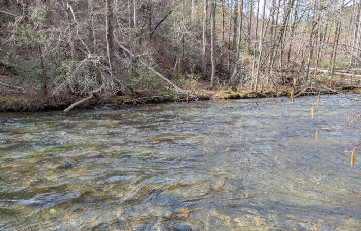
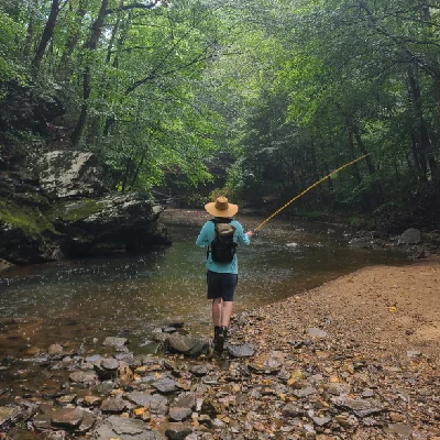
The Wilderness is defined by the Conasauga River and Jacks River watersheds. The trail system is built along these rivers and the ridges that separate them. Even if you start out high, you’re gonna get your feet wet if you try hiking any decent distance.
The rivers are not huge but they are wild & beautiful. There are a lot of crossings that require fording (though you can see remnants of the old logging railroad trestles).
Fire Made a Serious, Recent Impact
The 2016 Rough Ridge fire still defines the Wilderness. It started from a lightening strike during a historic drought. It burned nearly the entire Wilderness area. Some areas didn’t get hit too hard, but some areas were burned to the ground. It’s been 10 years now – but the trees are just now getting to where they can shade out briars and such.
But – the fires also weakened the soil and exposed isolated trees to wind…only to then get hit by Hurricane Helene and various storms in the last few years.
All that to say – there’s a lot of blowdown and trail maintenance backlog, in addition to successional forest going on.
The Trails Need Help (from you!)
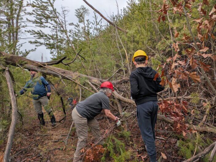
The US Forest Service has been actively clearing trails (only for them to get blowdown again) despite setbacks in 2020 and 2025 due to budgets, priorities, and staffing issues.
So you want to hike, fish, hunt, forage, recreate, etc in the Cohuttas?
Come join the Cohutta Wilderness Trail Volunteers – the volunteer partner of the US Forest Service. Events are usually once per month. It’s usually a dozen or so people who like to hike in and cut up trees. There is also an “Adopt a Trailhead” program if you want to help but can’t make the main meetups (come to an event to learn more!).
Feel free to email me about the group. I’ve adopted a couple trailheads and am usually out with the group most months. The group is chill, family friendly, welcoming, but also pretty hardcore (I love working with city parks volunteers, but they’re not hiking 7 miles round trip carrying cross-cut saws!). We provide tools, training, and support. Also, a USFS staffer comes out for some workdays if you want to hear actual information instead of whatever people are posting on social media.
Fediverse Reactions

Get Posts Automagically
…also via RSS or Fediverse – just copy link & paste in your favorite reader :)